
New DNR Tool Helps Direct Better Marsh Restoration and Protection
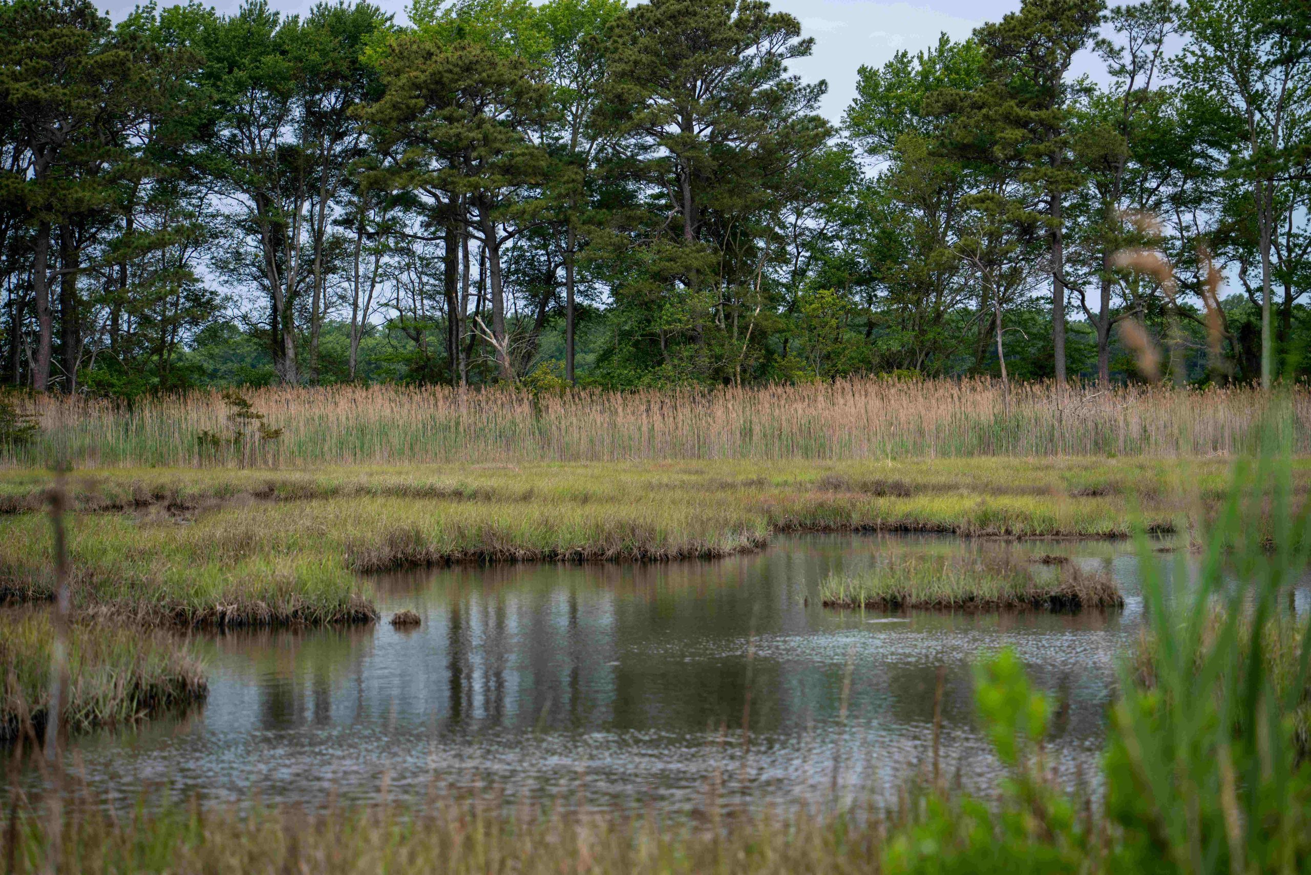
A vulnerable marsh in Worcester County. Photo by Dylan Taillie/Maryland DNR
The Maryland Department of Natural Resources released a new decision-making tool to help land managers and conservation organizations target restoration and protection of marshes in the state.
The new Marsh Resilience Portfolio is a feature on the department’s Maryland Coastal Atlas mapping tool that provides data on marsh areas. The portfolio lays out information about a marsh’s health as well as its benefits for protecting habitats and communities.
The information provided by this tool will better direct restoration efforts to marshes that can safeguard communities from flooding and other coastal risks over time.
“Marshes are an important ecosystem in their own right, providing water quality and habitat benefits, but they’re also critical buffer zones for coastal communities,” DNR’s Watershed and Climate Services Director Natalie Snider said. “This new Marsh Resilience Portfolio offers insights on how to best direct marsh restoration efforts in the state.”
The tool assesses marshes based on characteristics such as overall health, proximity to people, proximity to other habitats, and wave attenuation benefits (how much the marsh can reduce wave height of a storm surge). The tool also provides management recommendations on which areas to prioritize protection, based on marsh elevation and vegetation characteristics, for the long-term protection of marshes in Maryland.
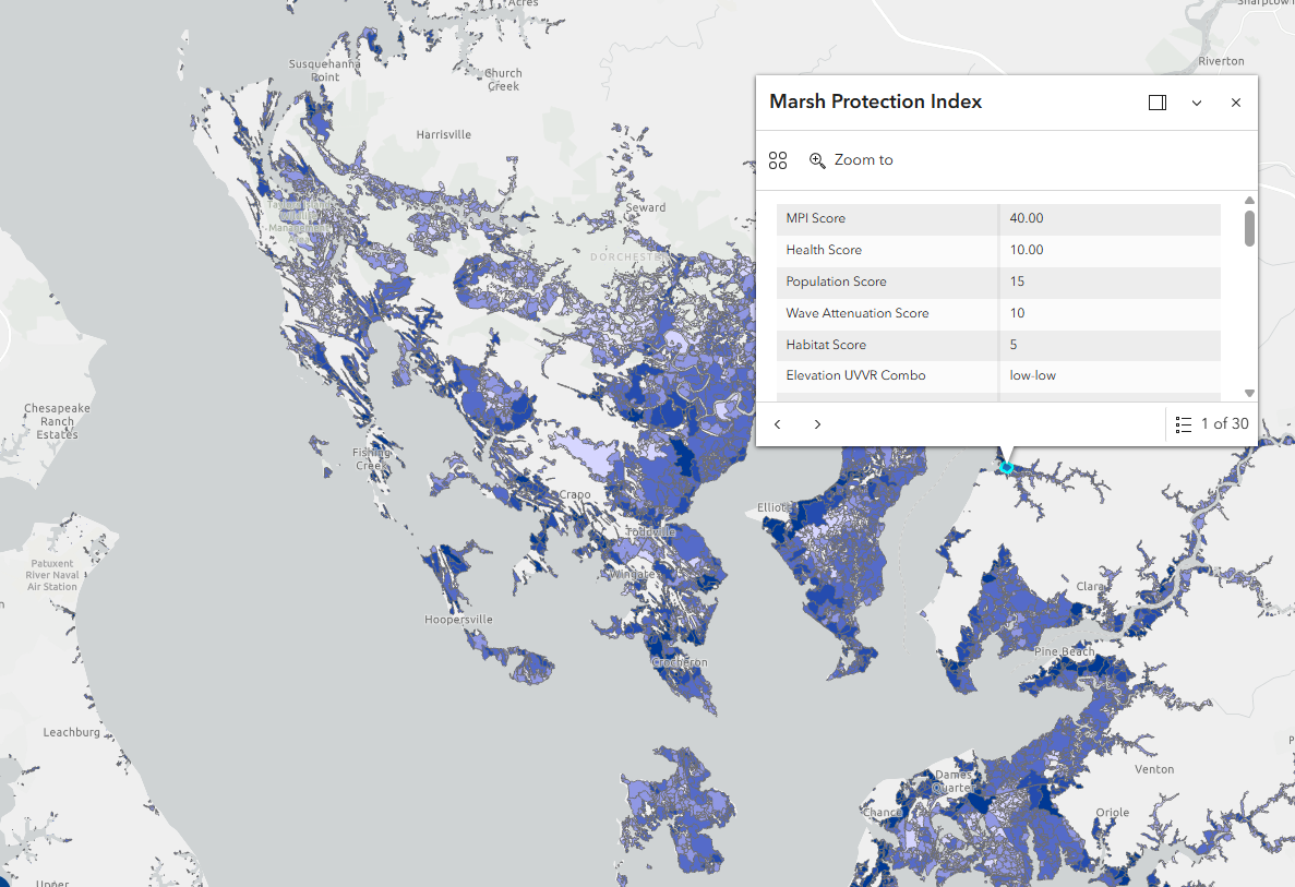
The Marsh Resilience Portfolio provides information on marshes in the coastal zone, with Dorchester County pictured here.
With more than 282,000 acres of Chesapeake Bay tidal wetlands, land managers must make hard decisions about where to dedicate resources. The Marsh Resilience Portfolio will help land managers enhance the lifespan of marshes and focus on marshes that will provide coastal protection benefits in the face of a changing climate.
The Marsh Resilience Portfolio, funded through Maryland’s Coastal Zone Management Program, replaces the Marsh Protection Potential Index, previously released in 2016. This new dataset integrates more quantitative data into state targeting by incorporating spatial datasets from US Geological Survey and wave attenuation data from a NOAA-funded Effects of Sea Level Rise project.
The portfolio found that Dorchester and Somerset counties had the largest amount of highly protective and healthy marshes. At the same, these counties are also the areas experiencing some of the most intense impacts of erosion and sea-level rise. Ponding, migration barriers, and development further threaten these ecosystems.
The Department of Natural Resources has used marsh health data from these sources to help select sites for living shorelines for the Roots for Resilience initiative to protect high-quality wetlands in places like Dorchester and Somerset county. DNR will use the data from the Marsh Resilience Portfolio to decide future funding for marsh restoration and protection projects.
The portfolio can be accessed by clicking on the “Map layers” button in the top ribbon on Coastal Atlas, and then selecting “MD Marsh Resilience Portfolio.” The map will then display color layers on top of marsh areas. Users can click on a marsh to see information about that specific marsh, including its scores for health and habitat and the recommended management strategy. Data are also available to download on Maryland iMap.
Land managers interested in a future training on the Marsh Resilience Portfolio should contact Dylan Taillie of Maryland DNR’s Watershed and Coastal Services at [email protected].