
Maryland DNR App Available to Locate Key Oyster Sites
Development of iShellfish Follows Legislation Signed in 2021
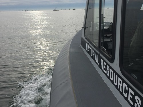
Maryland DNR photo
The Maryland Department of Natural Resources announces the development of a new mobile app, iShellfish, to provide interactive maps for commercial watermen and other users to locate areas they need to find or avoid while on Maryland’s waterways.
Maryland DNR developed the app last year in response to a bill passed by the Maryland Legislature and signed into law on May 18, 2021. The app helps individuals on the waters of the state determine their location in real time relative to: aquaculture leases; demonstration leases; fixed fishing devices, such as registered pound net sites; natural clam or oyster bars; oyster sanctuaries; public shellfish fishery areas; submerged aquatic vegetation (SAV) protection zones; Yates bars; or any other data areas the department deems relevant to the end user.
“The department is committed to providing the best information possible in user-friendly methods that reach our stakeholders and the public,” Secretary Jeannie Haddaway-Riccio said “We supported and were pleased to meet the goals of this legislation as part of our continuous efforts to use new technologies to support the ecological and economic goals for Maryland’s waterways.”
Instructions for downloading and using the app are available on the DNR website. Waterway users are responsible to maintain internet coverage while using the application.
The mobile application is intended to be a guide on the water and is not intended to be used for navigational purposes. The Maryland Fisheries regulation data shown is for general information — legal boundaries are found in the Annotated Code of Maryland and the current Regulations of the Department of Natural Resources on the DNR website.