Click Before You Cast: Using online resources to catch more fish
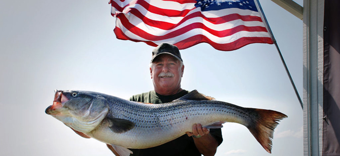
Striped bass; by Buck Hicks
Where are the fish? It is an age-old question Chesapeake Bay anglers ask when searching countless tidal creeks, rivers and bays stretching over 4,500 square miles and averaging 21 feet deep. We all understand that fish are influenced by food, shelter and water conditions. So where do we find this information? The answer is just a few clicks away.
Striped bass; by Jimmy Whipple
The State of Maryland, Commonwealth of Virginia and the federal government collect and post a variety of environmental monitoring data online to help us better understand and care for our waters.
This goldmine of information also provides powerful tools to help you eliminate unproductive waters, saving you fuel and increasing your chances of fishing success.
Step 1: Think like a fish
There is a wealth of information available about all Chesapeake Bay game- fish that can teach you where, when and how to catch them. Once you understand their favorite seasonal haunts, pull out your charts and get ready to start zooming in on productive spots.
Step 2: Eliminate areas outside of preferred salinity range
Some bay fish are better than others at surviving over a range of salinity conditions. For instance, rockfish are found anywhere from freshwater to the ocean. The habitat of fish with limited salinity ranges, such as largemouth bass, expands or contracts with changing salinities.
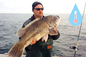
Tautpg; by Ken Westerfeld
However, salinities in any spot vary greatly due to the amount of rainfall entering through the Chesapeake’s rivers. During years of low rainfall, saltier conditions spread further up the bay.
If you know what salinity your target gamefish prefers and compare it to current salinity maps, you can eliminate unproductive waters.
Step 3: Eliminate poorly oxygenated areas
Fish, just like us, need oxygen to survive. During cooler months, there is plenty of oxygen in most areas of the bay. However, when the waters warm, there are large areas, generally in deeper waters, which have very little or none.
This is caused by the denser, saltier, deeper water’s inability to be recharged with oxygen from surface mixing. Algal blooms also cause low oxygen levels at night through respiration, or when they die and decompose.
Avoid fishing in waters with less than about 3 mg/l of dissolved oxygen.
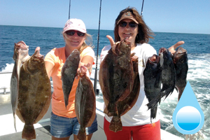
Flounder and black sea bass; by Steve Doctor
Step 4: Eliminate areas outside of preferred temperature range
Water temperature greatly influences the seasonal distribution of gamefish. Each species has a preferred temperature range where cooler temperatures slow them down and warmer temperatures increase their activity. Some fish avoid high water temperatures, often moving as deep as possible.
An angler’s adage: To find fish in the cooler months, look for warmer water, and in the warmer months, look for cooler water.
An event called the Rockfish Squeeze occurs in the summer when striped bass try to find cooler water but are prevented by poorly oxygenated waters. They end up squeezed into a small layer of barely suitable water at the extremes of their maximum temperature tolerance (84°F) and their minimum dissolved oxygen requirements (~3mg/l).
Step 5: Eliminate areas with poor water clarity
Poor water clarity can make it hard for fish to find and capture food. Clarity is impacted by the amount of suspended sediment and algae in the water. Excess sediment carried into the bay by large rains or re-suspended by wave action can reduce clarity and result in coffee-colored water.
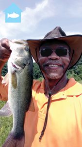
Largemouth bass; by Russell Anderson
Fish avoid high levels of suspended sediment but often feed in or near the edges of this murky water because these areas often contain food. Large algal blooms can often color the water various shades of green or brownish red. In some cases, fish avoid areas with dense algal blooms because the algae can be toxic or cause low oxygen levels.
Step 6: Identify preferred habitat
Fish need places to live, eat and reproduce. Due to constantly changing water conditions, preferred habitat can vary greatly throughout the year.
Experienced anglers know that gamefish often congregate on or near areas where relatively deep water is near shallow water or habitat edges. Typical areas include channel edges, drop-offs, flats, grass beds, oyster bars and points.
In the remaining areas on your chart, mark places with these types of features. The best fishing areas often include a combination of several key habitats.
Step 7: Find moving water
Once you have identified your fishing spots, check the streamflow, wind, wave conditions and tide charts to find moving water.
This is important because moving water can funnel baitfish and crabs through the prime habitat areas gamefish feed. Rising tides can move fish into shallower areas while falling tides can pull prey out into deeper channels.
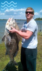
Black Drum; by Clayton Brittingham
Wind direction, duration and speed can mean a big difference to your fishing day. Not only does wind oxygenate the water, but winds blowing against the tide can often produce larger waves than normal and can slow tidal flushing. Likewise, winds blowing in the same direction of the tide can speed up tidal flushing.
Increased flows can improve fishing by cooling and oxygenating the water and dislodging food, but when flows get too high, they can quickly alter conditions by decreasing water clarity and salinity.
Step 8: Get out there!
You have now identified the best places to find fish right now—not last week or last month—but right now. All that is left to do is to go out and catch a bunch of fish!
Article by Tom Parham—tidal monitoring program lead.
Appears in Vol. 20, No. 3 of the Maryland Natural Resource magazine, summer 2017.
| Website | Description | Key Content |
| Eyes on the Bay | Extensive, frequently updated, Maryland water quality information, satellite maps from NOAA Coastwatch | Surface to bottom temperature, salinity, oxygen maps; summertime surface to bottom rockfish hotspot maps identifying locations of best combination of temperature & oxygen conditions |
| Maryland Fishing & Boating Services | Extensive Maryland fishing related information | Fishing report; anglers log; fishing hot spot maps; fish facts (includes key temperatures); charter boats & guides; tide chart |
| Maryland Bottom Survey | Extensive bottom type information | Habitat information |
| Virginia Estuarine and Coastal Observing | Extensive, frequently updated, Virginia water quality conditions | Temperature, oxygen, salinity, water clarity, algal blooms |
| Virginia Science for Better Fishing | Tides, bottom oxygen, information | Bottom oxygen water nearcasts and forecasts; tide chart; predicted storm tides; weather; oxygen levels |
| Virginia Science Seagrass Program | Seagrass maps | Habitat information |
| Virginia Oyster Stock Assessment & Replenishment | Oyster reef maps | Habitat information |
| Chesapeake Bay Interpretive Buoy System | Surface water, weather conditions | Temperature, clarity, salinity; wave, wind conditions |
| United States Geological Survey | Extensive network of streamflow sites | Water temperature, streamflow |
| National Weather Service Marine Forecast | Reliable marine forecast for understanding future wind, wave conditions | Text and map-based information |