
Calvert County Water Trail Guide Now Available
Partners Promote Public Water Access in Southern Maryland
 The Maryland Department of Natural Resources and Calvert County Parks and Recreation have produced a new water trails map and guide for county waterways and public water access sites.
“The development of these paddling routes expands the statewide network of water trails to almost 800 miles, and adds to the number and variety of water trail guides for Southern Maryland,” Maryland Natural Resources Program Director Lisa Gutierrez said. “The new map will assist boaters, canoers, kayakers and paddlers in Calvert County and beyond.”
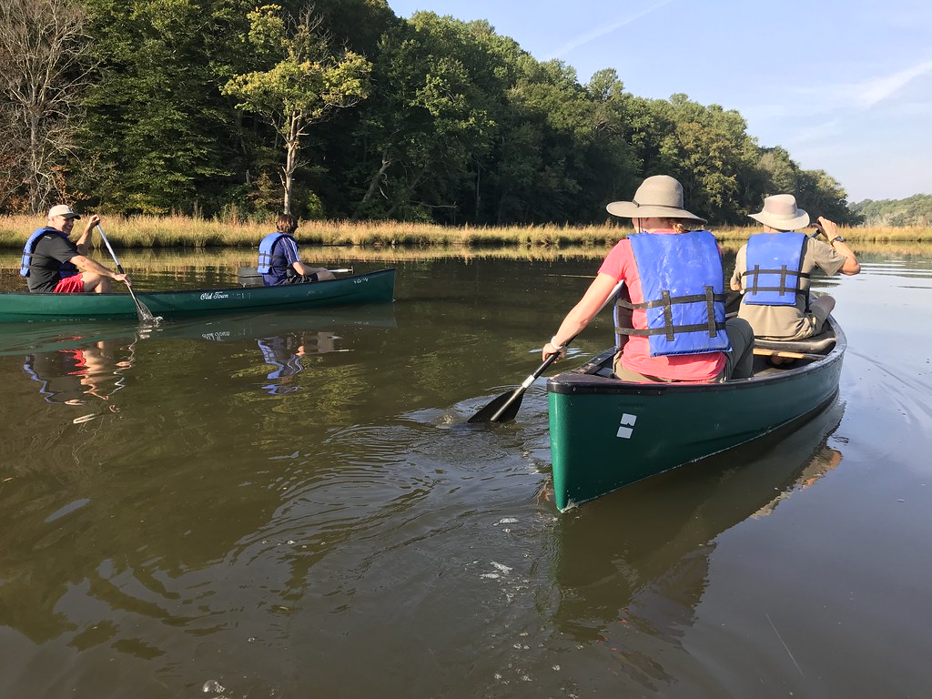
Water Trail Adventures in Calvert County: Discover the Charm of the Chesapeake features colorful maps, identifies locations of launch sites and support facilities, and provides information on cultural, historic and natural resources. It depicts six paddling routes along approximately 29 miles of waterways.
“The new water trails guide will enhance outdoor experiences for area residents, attract visitors to explore Calvert County, and help spread the messages of environmental stewardship and safe boating,” Calvert County Natural Resources Division Chief Karyn Molines said.
Other partners include the Calvert Nature Society, Jefferson Patterson Park and Museum, Patuxent Riverkeeper, and the towns of Chesapeake Beach, North Beach and Solomons Island. The National Oceanic and Atmospheric Administration provided funding for the new maps.
The water trail map is available at the department’s Outdoor Store, Calvert County Parks and Recreation and other locations, including Jefferson Patterson Park and Museum, and the towns of North Beach, Chesapeake Beach and Solomons Island.
 1-888-373-7888
 233733